Connect the dots faster with geovisualization
Unlock the power of rich visual data and the context needed to respond faster and more proactively to evolving events.

Dataminr Pulse’s global and hyperlocal coverage detects and translates signals in 150+ languages from within more than 1 million public data sources to generate real-time alerts on emerging risks—offering an unmatched view of the risk landscape, plus the context needed to respond effectively.

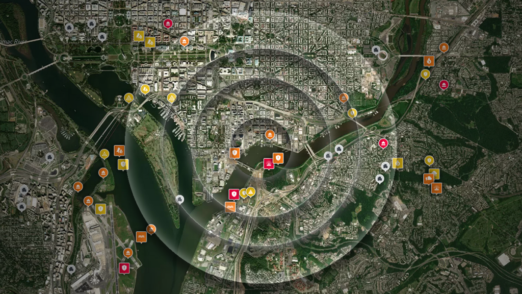
With Dataminr Pulse, you can save custom views so you can analyze how an event unfolded over time and provide summaries to help stakeholders.

Geovisualization brings the relationship between data points to life, making real-time alerts more actionable at a glance via a modern map interface.
Dataminr+Esri
Solution Sheet
Integrate Dataminr’s real-time, AI-driven risk alerts into Esri’s ArcGIS comprehensive mapping & analytics system to quickly identify, locate and analyze high-impact events across your organization’s locations and in the field.

Respond to extreme weather events with precision and clarity
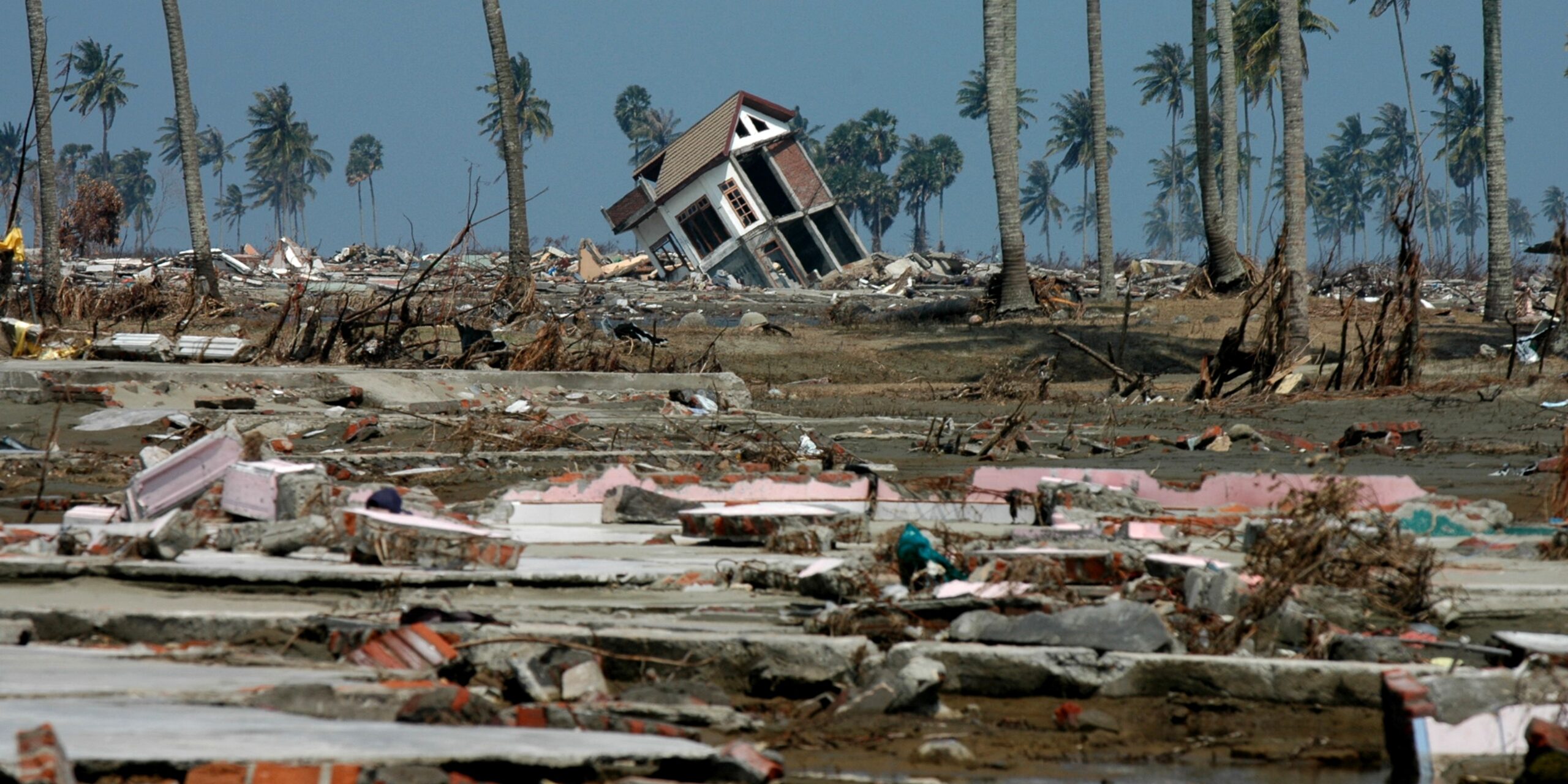
With additional data layers from providers such as NWS and IBM Weather, your team can visualize hurricane paths, active alert zones and storm impact areas—enabling you to respond proactively to major weather events and maintain an accurate line of sight as they unfold.
Beyond anticipated landfalls and storm trajectories, with Dataminr Pulse you can monitor the cascading effects of tropical activity—including storm surges and power outages—and how these events could impact your business.

See the power of Dataminr
Get a firsthand look at how our AI platform helps you know first, so you can act faster.